

Select NOAA-NWS Forecast Office Text Products
(Product availability varies with seasons, forecast office, and weather.)
Hazardous Weather Outlook for Jackson, KY
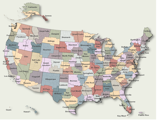
To Select Another NWS Office Click on Map or Choose from List
|
| Select Forecast Office: | Select Product: |
408 FLUS43 KJKL 032345 AAA HWOJKL Hazardous Weather Outlook...UPDATED National Weather Service Jackson KY 745 PM EDT Fri May 3 2024 KYZ044-050>052-058>060-068-069-079-080-083>088-104-106>120-042345- Fleming-Montgomery-Bath-Rowan-Estill-Powell-Menifee-Rockcastle- Jackson-Pulaski-Laurel-Wayne-McCreary-Whitley-Knox-Bell-Harlan- Elliott-Morgan-Johnson-Wolfe-Magoffin-Floyd-Lee-Breathitt-Knott- Owsley-Perry-Clay-Leslie-Letcher-Martin-Pike- 745 PM EDT Fri May 3 2024 This Hazardous Weather Outlook is for a portion of eastern Kentucky. .DAY ONE...Tonight. Thunderstorms are possible at times through the night, especially for locations along and west of Interstate 75. .DAYS TWO THROUGH SEVEN...Saturday through Thursday. Thunderstorms are possible at times through the period, particularly during afternoon and evening hours. .SPOTTER INFORMATION STATEMENT... Spotter activation is not expected at this time. $$ CMC/GREIF |
Previous Hazardous Weather Outlooks may be found at
NWS Jackson, KY (JKL) Office Hazardous Weather Outlooks.
(Click 'Previous Version' there to view past versions successively.
Some may differ only in time posted.)
Products Courtesy of NOAA-NWS
NWS Information Parsing Script by Ken True at Saratoga Weather - WFO and Products Scripts by SE Lincoln Weather.
Mapping by Curly at Michiana Weather and by Tom at My Mishawaka Weather.